
 Support
/https%3A%2F%2Fwww.icebound.com%2Fwp-content%2Fuploads%2F2024%2F01%2Forgandator.png)
/https%3A%2F%2Fwww.icebound.com%2Fwp-content%2Fuploads%2F2024%2F01%2Faddspatial_extra.jpg)
/https%3A%2F%2Fwww.icebound.com%2Fwp-content%2Fuploads%2F2024%2F01%2Faddspatial-1410x1056-1-1024x767-1.jpg)
/https%3A%2F%2Fwww.icebound.com%2Fwp-content%2Fuploads%2F2024%2F01%2Faddspatial_hand-kopiera.jpg)
World-Class Geographic Information Technology
Together with you, our customer, we tailor the right combination of technology, functionality, capacity, and the user experience you’re looking for. We offer a wide range of functional add-ons that can be integrated as needed.
At its core, AddSpatial is built on our own framework for secure use and access, whether in the cloud or on-premises at the customer’s site. The geography engine, which is very powerful, can not only work with our own spatial database layer but also consume and produce results from data sources and files in other surrounding systems. Integration is a key concept for our platform, whether through service interfaces, data exchange, or the geographic user experience within your business system.
Custom Solutions
AddSpatial GIS is essentially a scalable and efficient platform
that can be customized to meet the customer’s needs and budget.
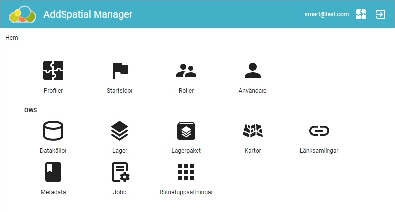
Our graphical user interfaces, with the map seamlessly integrated into various levels, can be expanded with different modules and features. These modules can be standardized by us or fully customized for a business product or customer solution. AddSpatial supports, among other things, OGC, the SMART framework from Icebound for business modules, integration with the various levels of the customer’s system, and much more. Can’t find the feature you need? Then we’ll build it.
Not to be overlooked is compatibility with well-known file and data formats from systems such as ESRI, MapInfo, Google Maps, AutoCAD, and others.
/https%3A%2F%2Fwww.icebound.com%2Fwp-content%2Fuploads%2F2024%2F03%2Fapcoa.jpeg)
/https%3A%2F%2Fwww.icebound.com%2Fwp-content%2Fuploads%2F2024%2F01%2Fmapinfo_list-scaled.jpeg)
